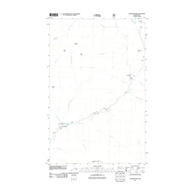
2011 Map of Coleman Peak
USGS Topo · Published 2011About this map
Coleman Peak and a series of high ridges define the drainages of the Chewuch River in this high-country survey. The landscape is marked by a network of seasonal streams including Meadow Creek, Windy Creek, and Thirtymile Creek, which flow through steep valleys toward the main river channel. Small alpine water bodies like Meadow Lake and the secluded Tonseth Lake sit among the peaks, providing rare still-water points in a terrain dominated by fast-moving creeks and the dramatic Chewack Falls.
Find a feature on this map
28 named features on this map. Tap any name to fly to it.
Don’t see what you’re looking for? This feature index may not catch every label — zoom into the map to look around manually.
Map Details
Editions of this 2011 Coleman Peak Map
This is the sole edition of this map. No revisions or reprints were ever made.
Other maps of this area

1906 · Chopaka
USGS Topo · 1:125,000

1954 · Okanogan
USGS Topo · 1:250,000

1955 · Concrete
USGS Topo · 1:250,000

1956 · Tiffany Mountain
USGS Topo · 1:62,500

1956 · Horseshoe Basin
USGS Topo · 1:62,500

1958 · Concrete
USGS Topo · 1:250,000

1958 · Okanogan
USGS Topo · 1:250,000

1962 · Concrete
USGS Topo · 1:250,000

1963 · Doe Mountain
USGS Topo · 1:62,500

1969 · Mt. Barney
USGS Topo · 1:24,000