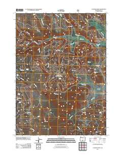
2011 Map of Coleman Point
USGS Topo · Published 2011About this map
Anderson Ranch and Murphy Ranch anchor this 2011 survey of Lake County, Oregon, where the landscape is defined by an intricate network of high-desert drainages and isolated springs. The terrain transitions from the elevated Coleman Point and Drum Hill down into several named flats, including Grasshopper Flat and Lantern Flat. This territory is heavily marked by its water sources, with names like Clear Spring, Morgan Spring, and Snag Spring indicating the vital importance of groundwater in this arid region. The drainage patterns of Dairy Creek and Morgan Creek reveal the natural corridors used for movement and grazing. Remote outposts like Shepard Camp suggest the seasonal and agricultural use of the land, providing researchers with a detailed look at the rural infrastructure and named family landmarks that persist in the Oregon backcountry.
Find a feature on this map
35 named features on this map. Tap any name to fly to it.
Don’t see what you’re looking for? This feature index may not catch every label — zoom into the map to look around manually.
Map Details
Editions of this 2011 Coleman Point Map
This is the sole edition of this map. No revisions or reprints were ever made.
Other maps of this area

1955 · Klamath Falls
USGS Topo · 1:250,000

1958 · Klamath Falls
USGS Topo · 1:250,000

1960 · Fishhole Mtn
USGS Topo · 1:62,500

1964 · Cox Flat
USGS Topo · 1:24,000

1964 · Coleman Point
USGS Topo · 1:24,000

1964 · Cougar Peak
USGS Topo · 1:24,000

1964 · Shoestring Butte
USGS Topo · 1:24,000

1966 · Morgan Butte
USGS Topo · 1:24,000

1966 · Coffeepot Creek
USGS Topo · 1:24,000

1966 · Lee Thomas Crossing
USGS Topo · 1:24,000