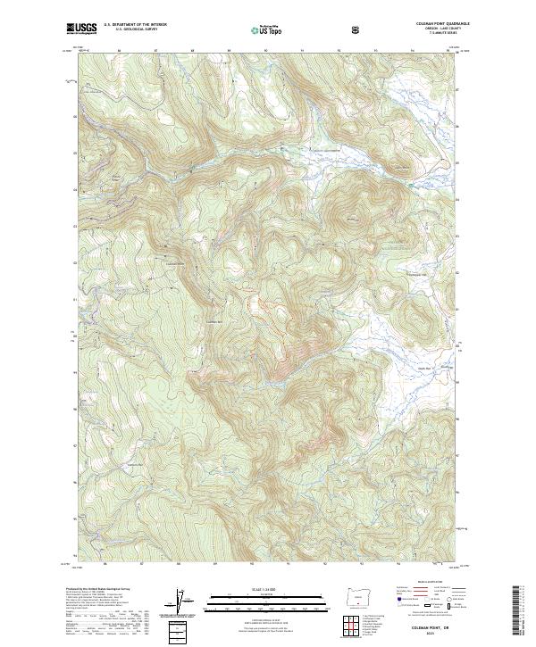
2023 Map of Coleman Point
USGS Topo · Published 2023About this map
High-elevation timberlands and grazing flats dominate this portion of the Fremont National Forest in Lake County. The landscape is defined by the prominent Coleman Rim and the volcanic peak of Coleman Point, which rises above a series of high plateaus and meadows. The abundance of named springs, such as Colt Spring, Cliff Spring, and Barrel Spring, indicates the importance of reliable water sources for both local wildlife and the region's historic livestock operations. Evidence of human activity is found at the Mitchell Monument and the Dairy Pt - Happy Camp CG, reflecting the area's dual role for forest management and public recreation.
Find a feature on this map
52 named features on this map. Tap any name to fly to it.
Don’t see what you’re looking for? This feature index may not catch every label — zoom into the map to look around manually.
Map Details
Editions of this 2023 Coleman Point Map
This is the sole edition of this map. No revisions or reprints were ever made.
Other maps of this area

1955 · Klamath Falls
USGS Topo · 1:250,000

1958 · Klamath Falls
USGS Topo · 1:250,000

1960 · Fishhole Mtn
USGS Topo · 1:62,500

1964 · Cox Flat
USGS Topo · 1:24,000

1964 · Coleman Point
USGS Topo · 1:24,000

1964 · Cougar Peak
USGS Topo · 1:24,000

1964 · Shoestring Butte
USGS Topo · 1:24,000

1966 · Morgan Butte
USGS Topo · 1:24,000

1966 · Coffeepot Creek
USGS Topo · 1:24,000

1966 · Lee Thomas Crossing
USGS Topo · 1:24,000