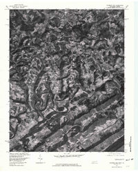
1976 Map of Colemen Gap
USGS Topo · Published 1981About this map
The Powell River carves a dramatic, winding path through this corner of Claiborne County, creating a series of tight oxbows that define the local landscape. Captured in the mid-1970s, the terrain reveals a mosaic of small-scale agriculture and forested ridges centered around dispersed settlements such as Hopewell and Oak Grove. The map highlights the traditional upland character of the Tennessee-Virginia borderlands, where life followed the contours of drainage systems like Cox Creek and Fourmile Creek.
Find a feature on this map
11 named features on this map. Tap any name to fly to it.
Don’t see what you’re looking for? This feature index may not catch every label — zoom into the map to look around manually.
Map Details
Editions of this 1976 Colemen Gap Map
This is the sole edition of this map. No revisions or reprints were ever made.
Other maps of this area

1883 · Morristown
USGS Topo · 1:125,000

1886 · Cumberland Gap
USGS Topo · 1:125,000

1887 · Jonesville
USGS Topo · 1:125,000

1888 · Cumberland Gap
USGS Topo · 1:125,000

1891 · Cumberland Gap
USGS Topo · 1:125,000

1891 · Jonesville
USGS Topo · 1:125,000

1893 · Morristown
USGS Topo · 1:125,000

1895 · Morristown
USGS Topo · 1:125,000

1897 · Maynardville
USGS Topo · 1:125,000

1900 · Maynardville
USGS Topo · 1:125,000