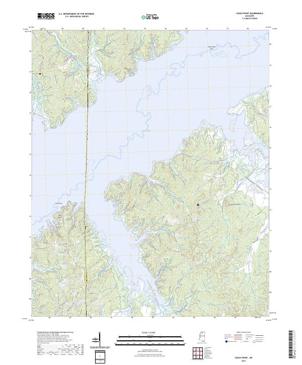
2024 Map of Coles Point
USGS Topo · Published 2024About this map
Sardis Lake dominates this modern landscape, with its irregular shoreline carving deep into the wooded hills of the north Mississippi hill country. The boundary between Panola County and Lafayette County runs directly through these waters, which flooded former bottomlands and created the namesake Coles Point peninsula. The surrounding terrain rises toward Carter Mountain to the east and is dissected by small drainages like Nelson Creek and Plants Branch.
Find a feature on this map
48 named features on this map. Tap any name to fly to it.
Don’t see what you’re looking for? This feature index may not catch every label — zoom into the map to look around manually.
Map Details
Editions of this 2024 Coles Point Map
This is the sole edition of this map. No revisions or reprints were ever made.
Other maps of this area

1940 · Oxford
USGS Topo · 1:62,500

1943 · Oxford
USGS Topo · 1:62,500

1944 · Senatobia
USGS Topo · 1:62,500

1944 · Tyro
USGS Topo · 1:62,500

1952 · Sardis
USGS Topo · 1:62,500

1953 · Sardis
USGS Topo · 1:62,500

1956 · Tupelo
USGS Topo · 1:250,000

1958 · Tupelo
USGS Topo · 1:250,000

1971 · Laws Hill
USGS Topo · 1:24,000
1971 · Tyro
USGS Topo · 1:24,000