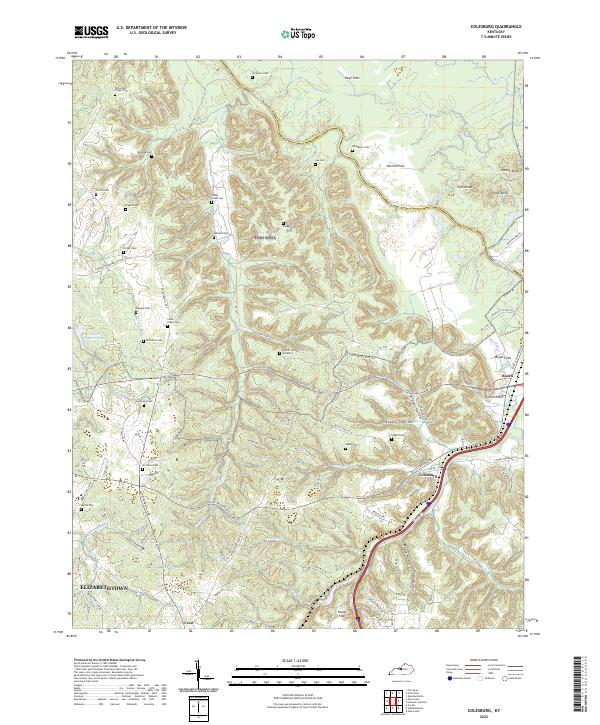
2022 Map of Colesburg
USGS Topo · Published 2022About this map
The Bullitt and Hardin County line winds along the Rolling Fork in this 2022 survey, revealing a landscape defined by sharp elevation shifts between alluvial flats and prominent knobs. On the western edge, the outskirts of Elizabethtown give way to the smaller settlements of Colesburg and Crest. The area is notably dense with small family and community burial grounds, such as Cedar Creek Cem, Stovall Cem Number 2, and Patterson Chapel Cem, which are tucked into the drainages of Dorrets Run and Cedar Cr. Military and transport history is present through infrastructure like the Seventh Armored Division Rd and the Battle Training Rd, reflecting the proximity of nearby installations. Natural landmarks like Potlick Point and Stark Knob rise above the surrounding Harned Flats, marking a transition from the river valley to higher ground.
Find a feature on this map
95 named features on this map. Tap any name to fly to it.
Don’t see what you’re looking for? This feature index may not catch every label — zoom into the map to look around manually.
Map Details
Editions of this 2022 Colesburg Map
This is the sole edition of this map. No revisions or reprints were ever made.
Other maps of this area

1935 · Elizabethtown
USGS Topo · 1:48,000

1936 · Vine Grove
USGS Topo · 1:62,500

1938 · Elizabethtown
USGS Topo · 1:62,500

1943 · Vine Grove
USGS Topo · 1:62,500

1946 · Pitts Point
USGS Topo · 1:24,000

1946 · Fort Knox
USGS Topo · 1:24,000

1946 · Colesburg
USGS Topo · 1:24,000

1946 · Vine Grove
USGS Topo · 1:24,000

1946 · Vine Grove
USGS Topo · 1:62,500

1948 · Cecilia
USGS Topo · 1:24,000