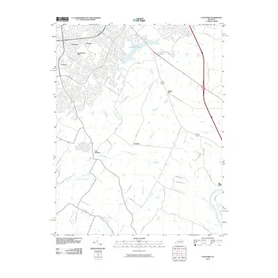
2010 Map of Coletown
USGS Topo · Published 2010About this map
Lexington Reservoir Number 4 and the southeastern residential expansions of Lexington characterize this area of Fayette County in the first decade of the 21st century. The map shows a landscape in transition, where established neighborhoods like Gamesway, Southeastern Hills, and Jonestown meet the open farmland of the Bluegrass. This interface is marked by major thoroughfares such as Man O War Blvd and Armstrong Mill Rd, which lead away from the urban center toward smaller communities including Walnut Hill, Coletown, and East Hickman.
Find a feature on this map
44 named features on this map. Tap any name to fly to it.
Don’t see what you’re looking for? This feature index may not catch every label — zoom into the map to look around manually.
Map Details
Editions of this 2010 Coletown Map
This is the sole edition of this map. No revisions or reprints were ever made.
Other maps of this area

1892 · Richmond
USGS Topo · 1:125,000

1897 · Richmond
USGS Topo · 1:125,000

1905 · Harrodsburg
USGS Topo · 1:125,000

1906 · Georgetown
USGS Topo · 1:62,500

1908 · Georgetown
USGS Topo · 1:62,500

1927 · Lexington
USGS Topo · 1:48,000

1929 · Lexington
USGS Topo · 1:62,500

1950 · Lexington East
USGS Topo · 1:24,000

1950 · Lexington West
USGS Topo · 1:24,000

1952 · Valley View
USGS Topo · 1:24,000