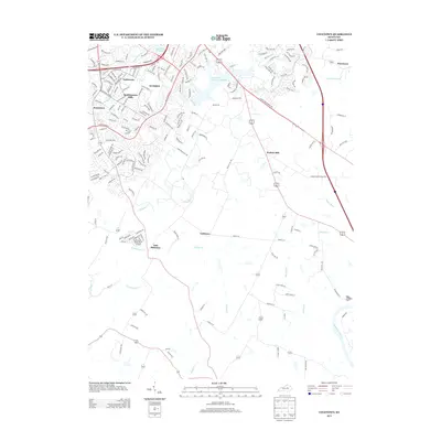
2013 Map of Coletown
USGS Topo · Published 2013About this map
The suburban expansion of southeast Lexington meets the rural Bluegrass landscape in this early 21st-century record. Established neighborhoods like Southeastern Hills, Gamesway, and Jonestown demonstrate a dense residential footprint characterized by winding streets such as Appian Way and Tatesbrook Dr. In contrast, the southern and eastern portions of the map retain a pastoral character defined by small crossroads and creek valleys. Coletown and East Hickman sit along the winding path of E Hickman Cr, while Walnut Hill and Pricetown occupy higher ground to the north. This transition is further marked by water infrastructure, including Lexington Reservoir Number 4 and Reservoir Number 3, which serve the growing population centers. Along the eastern edge, the topography drops sharply toward the Kentucky River, where Raven Run and Elk Lick Cr carve through the limestone landscape before joining the river.
Find a feature on this map
179 named features on this map. Tap any name to fly to it.
Don’t see what you’re looking for? This feature index may not catch every label — zoom into the map to look around manually.
Map Details
Editions of this 2013 Coletown Map
This is the sole edition of this map. No revisions or reprints were ever made.
Other maps of this area

1892 · Richmond
USGS Topo · 1:125,000

1897 · Richmond
USGS Topo · 1:125,000

1905 · Harrodsburg
USGS Topo · 1:125,000

1906 · Georgetown
USGS Topo · 1:62,500

1908 · Georgetown
USGS Topo · 1:62,500

1927 · Lexington
USGS Topo · 1:48,000

1929 · Lexington
USGS Topo · 1:62,500

1950 · Lexington East
USGS Topo · 1:24,000

1950 · Lexington West
USGS Topo · 1:24,000

1952 · Valley View
USGS Topo · 1:24,000