2022 Map of Colfax
USGS Topo · Published 2022About this map
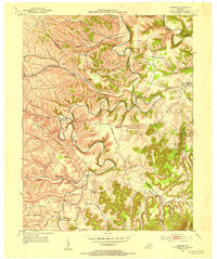
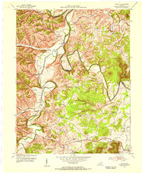
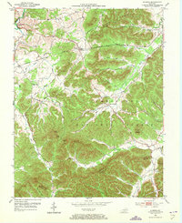
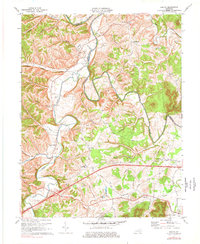
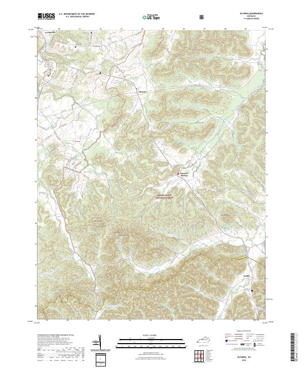
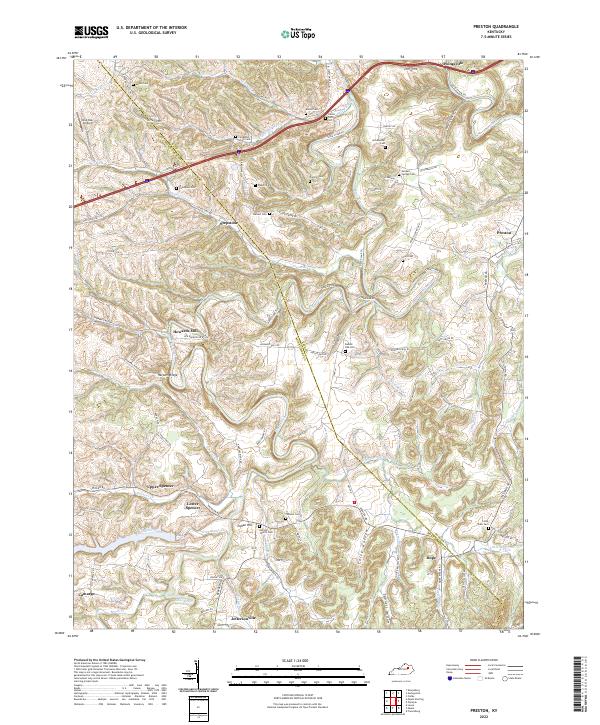
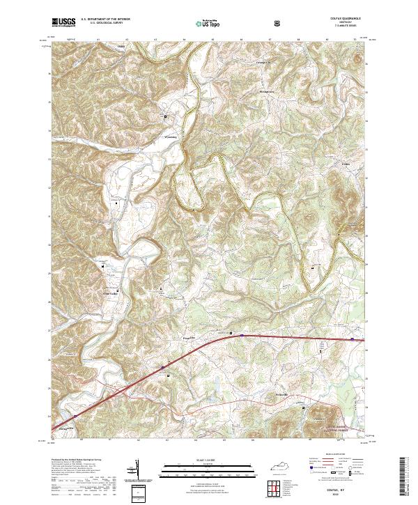
Slate Creek and the Licking River define the intricate drainage patterns of this Bath County landscape, where small communities like Wyoming, Polksville, and Grange City are connected by a network of winding roads. The terrain is marked by family-named hollows and cemeteries that provide significant data for local historians. Of particular note are burial sites like Barbers Graveyard and the Old Virginia Cemetery, which sit alongside established settlements such as Slate Valley and Peasticks.
Find a feature on this map
116 named features on this map. Tap any name to fly to it.
Don’t see what you’re looking for? This feature index may not catch every label — zoom into the map to look around manually.
Map Details
Editions of this 2022 Colfax Map
This is the sole edition of this map. No revisions or reprints were ever made.
Historical Maps of Oakla Through Time
9 maps found