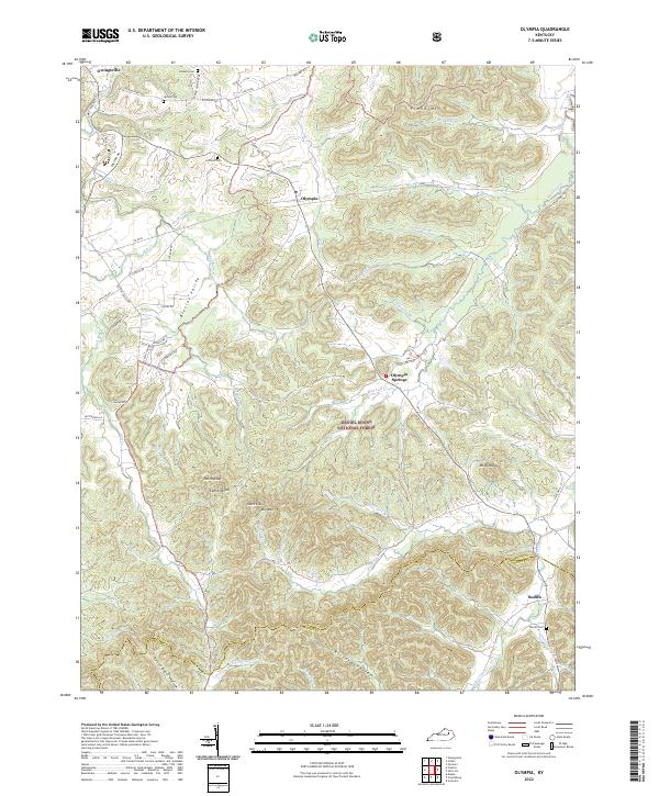
2022 Map of Olympia
USGS Topo · Published 2022About this map
Daniel Boone National Forest dominates the southern landscape of this Bath County region, where the terrain breaks into a complex network of hollows and ridges. The settlement pattern is defined by narrow valleys like Blevins Valley and the winding course of Slate Creek. To the north, the small community of Olympia sits at the junction of State Hwy 965 and Rose Run, while further south lies Olympia Springs, a location known for its geological and mineral heritage. For genealogists, the map preserves the locations of family burial grounds including Shrout Cem, Jackson Cem, and Oldfield Cem near Pickshein Rd. The southern border follows the line between Bath and Menifee counties, crossing through Richard Hollow and past the high point of Mt Olympus.
Find a feature on this map
71 named features on this map. Tap any name to fly to it.
Don’t see what you’re looking for? This feature index may not catch every label — zoom into the map to look around manually.
Map Details
Editions of this 2022 Olympia Map
This is the sole edition of this map. No revisions or reprints were ever made.
Other maps of this area

1892 · Beattyville
USGS Topo · 1:125,000

1929 · Salt Lick
USGS Topo · 1:62,500

1934 · Salt Lick
USGS Topo · 1:62,500

1952 · Preston
USGS Topo · 1:24,000

1952 · Owingsville
USGS Topo · 1:24,000

1952 · Scranton
USGS Topo · 1:24,000

1952 · Frenchburg
USGS Topo · 1:24,000

1952 · Means
USGS Topo · 1:24,000

1953 · Olympia
USGS Topo · 1:24,000

1953 · Farmers
USGS Topo · 1:24,000