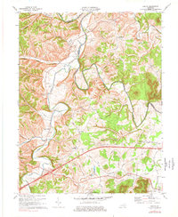
1970 Map of Colfax
USGS Topo · Published 1977About this map
The Licking River winds through the hills of Bath and Fleming counties, anchoring a rural landscape of small agrarian communities and family homesteads. Settled along the riverbanks and creeks, communities such as Wyoming and Grange City reflect the historical importance of waterway proximity, while the southern reaches of the map transition into the Daniel Boone National Forest. The map is particularly rich for genealogical research, documenting numerous family-named landmarks and places of worship, including Bailey's Chapel, Old Virginia Ch, and Hedrick Ch.
Find a feature on this map
59 named features on this map. Tap any name to fly to it.
Don’t see what you’re looking for? This feature index may not catch every label — zoom into the map to look around manually.
Map Details
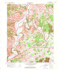
Editions of this 1970 Colfax Map
2 editions found
Other maps of this area

1929 · Salt Lick
USGS Topo · 1:62,500

1934 · Salt Lick
USGS Topo · 1:62,500

1951 · Hillsboro
USGS Topo · 1:24,000

1951 · Plummers Landing
USGS Topo · 1:24,000

1952 · Preston
USGS Topo · 1:24,000

1952 · Owingsville
USGS Topo · 1:24,000

1952 · Sherburne
USGS Topo · 1:24,000

1953 · Olympia
USGS Topo · 1:24,000

1953 · Farmers
USGS Topo · 1:24,000
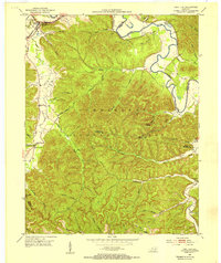
1953 · Salt Lick
USGS Topo · 1:24,000