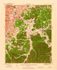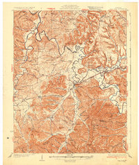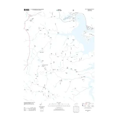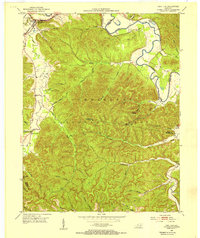
1953 Map of Salt Lick
USGS Topo · Published 1954About this map
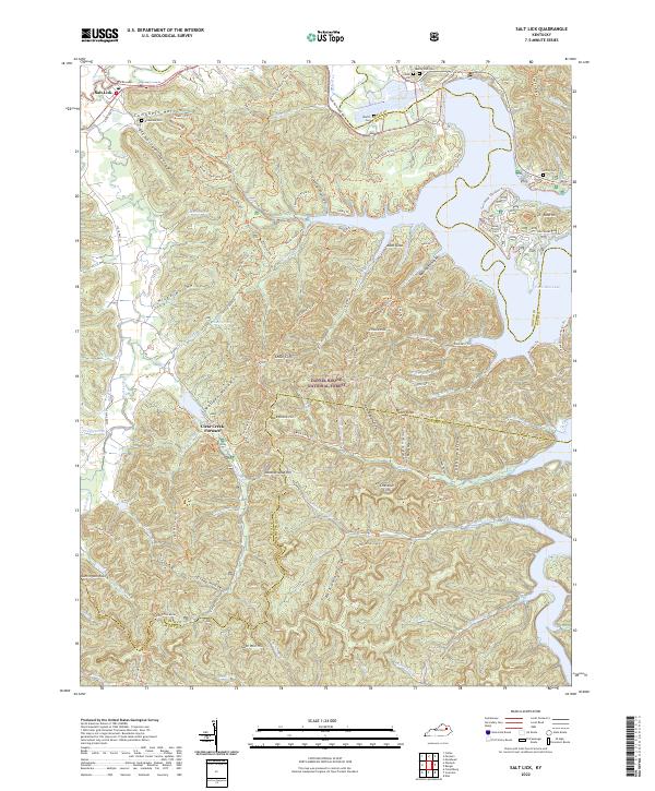
The Licking River winds through the northeastern portion of this territory, where the sharp transition from river valley to the dense, dissected ridges of the Cumberland National Forest defines the local geography. In the early 1950s, the settlement of Salt Lick served as a key point on the C & O railroad line, supported by a network of rural schoolhouses and churches like Leatherwood Sch and Upper Salt Lick Ch. The map captures a moment when resource extraction and forest management were prominent, evidenced by the Tater Knob Lookout Tower and scattered Oil Wells near the Bath and Menifee county lines.
Find a feature on this map
48 named features on this map. Tap any name to fly to it.
Don’t see what you’re looking for? This feature index may not catch every label — zoom into the map to look around manually.
Map Details
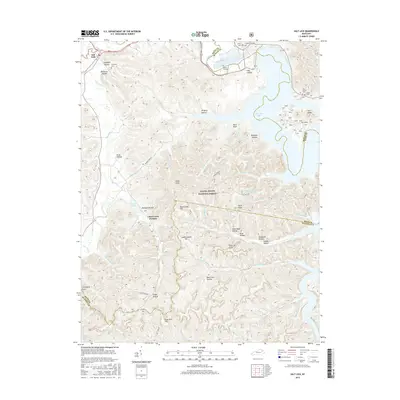
Editions of this 1953 Salt Lick Map
2 editions found
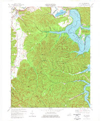
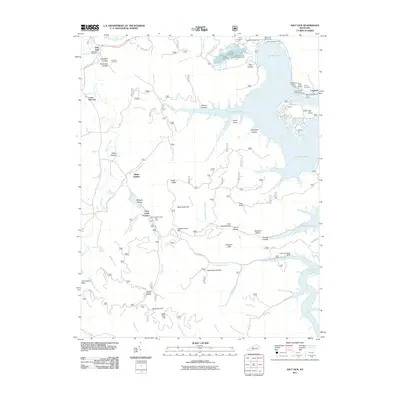
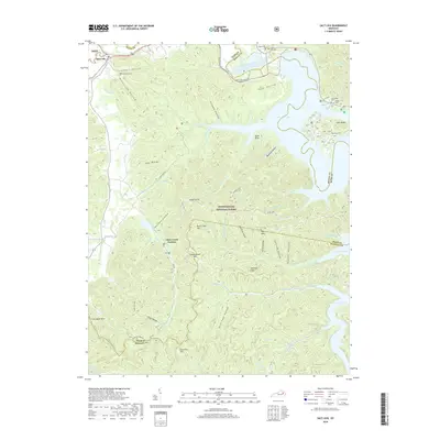
Historical Maps of Salt Lick Through Time
9 maps found