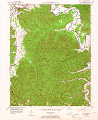
1953 Map of Salt Lick
USGS Topo · Published 1966About this map
The C & O railroad cuts through the northern corridor of this 1953 landscape, following the southern bank of the Licking River and connecting the settlement of Salt Lick to the broader regional economy. Much of the terrain is defined by the densely wooded ridges of the Cumberland National Forest, where a network of family-named hollows and branches like Dickerson Hollow and Campbell Hollow reveal the intricate topography of the Bath and Rowan County borders. Local industry and infrastructure are evident in the Peter Oil Wells near Tater Knob, while a high-altitude perspective is provided by the Tater Knob Lookout Tower.
Find a feature on this map
53 named features on this map. Tap any name to fly to it.
Don’t see what you’re looking for? This feature index may not catch every label — zoom into the map to look around manually.
Map Details
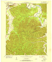
Editions of this 1953 Salt Lick Map
2 editions found
Other maps of this area

1889 · Salyersville
USGS Topo · 1:125,000

1891 · Salyersville
USGS Topo · 1:125,000

1892 · Beattyville
USGS Topo · 1:125,000

1899 · Salyersville
USGS Topo · 1:125,000

1929 · Morehead
USGS Topo · 1:48,000

1929 · Salt Lick
USGS Topo · 1:62,500

1934 · Salt Lick
USGS Topo · 1:62,500

1935 · Morehead
USGS Topo · 1:62,500

1951 · Ezel
USGS Topo · 1:24,000

1952 · Scranton
USGS Topo · 1:24,000