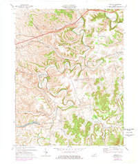
1970 Map of Preston
USGS Topo · Published 1978About this map
Slate Creek and its many winding tributaries define the topography of this corner of Bath and Montgomery counties during the 1970s. The landscape is characterized by narrow valley settlements and ridge-top crossings, with the Chesapeake and Ohio railroad corridor tracking through Stepstone and Preston. Local life centers on rural crossroads and small community anchors like Sugar Grove Ch, Corinth Ch, and the Filtration Plant near Howards Mill.
Find a feature on this map
57 named features on this map. Tap any name to fly to it.
Don’t see what you’re looking for? This feature index may not catch every label — zoom into the map to look around manually.
Map Details
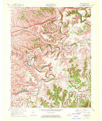
Editions of this 1970 Preston Map
2 editions found
Other maps of this area

1892 · Beattyville
USGS Topo · 1:125,000

1929 · Salt Lick
USGS Topo · 1:62,500

1934 · Salt Lick
USGS Topo · 1:62,500

1950 · Levee
USGS Topo · 1:24,000

1952 · Preston
USGS Topo · 1:24,000

1952 · Owingsville
USGS Topo · 1:24,000

1952 · Sharpsburg
USGS Topo · 1:24,000

1952 · Mount Sterling
USGS Topo · 1:24,000

1952 · Frenchburg
USGS Topo · 1:24,000

1952 · Means
USGS Topo · 1:24,000