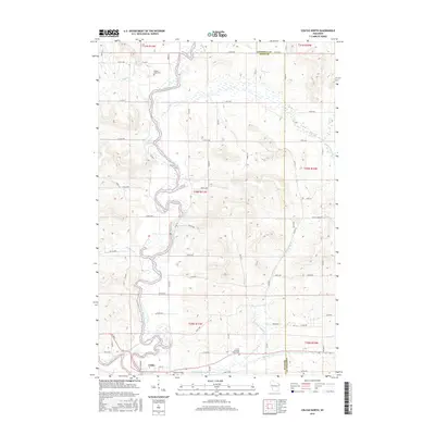
2015 Map of Colfax North
USGS Topo · Published 2015About this map
The Red Cedar River carves a winding path through this portion of western Wisconsin, defining the drainage patterns and valley formations of the region. On the southern edge, the village of Colfax sits near the confluence of several waterways, including Eighteenmile Cr and Mirror Lake. The landscape is etched by a series of creeks such as Popple Cr, Trout Cr, and Running Valley Cr, which cut through the undulating terrain. Genealogists and local historians will find several burial grounds noted across the townships, including Popple Creek Cem in the north and both Running Valley Cem and Lower Running Valley Cem to the south. The map documents the grid of county roads and avenues, like Co Rd W and 170th Ave, that connect these rural communities across the Chippewa and Dunn county line.
Find a feature on this map
66 named features on this map. Tap any name to fly to it.
Don’t see what you’re looking for? This feature index may not catch every label — zoom into the map to look around manually.
Map Details
Editions of this 2015 Colfax North Map
This is the sole edition of this map. No revisions or reprints were ever made.
Other maps of this area

1934 · Elk Mound
USGS Topo · 1:62,500

1936 · Elk Mound
USGS Topo · 1:62,500

1940 · Menomonie
USGS Topo · 1:62,500

1942 · Menomonie
USGS Topo · 1:62,500

1949 · New Auburn
USGS Topo · 1:62,500

1949 · Ridgeland
USGS Topo · 1:62,500

1951 · Ridgeland
USGS Topo · 1:62,500

1951 · New Auburn
USGS Topo · 1:62,500

1953 · Eau Claire
USGS Topo · 1:250,000

1953 · Rice Lake
USGS Topo · 1:250,000