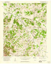
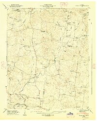
1957 Map of College Grove
USGS Topo · Published 1958About this map
The Louisville and Nashville Railroad cuts a prominent diagonal through this Middle Tennessee landscape, anchoring the rural communities of College Grove and Allisona. In the mid-1950s, this region remained a patchwork of small farms and family-named landmarks, where the Harpeth River and Arrington Creek shaped the local topography. The map reveals a high concentration of community centers, including Wesley Chapel, Harpeth Lick Ch, and Shady Grove Ch, alongside local education sites like Kirkland Sch.
Find a feature on this map
49 named features on this map. Tap any name to fly to it.
Don’t see what you’re looking for? This feature index may not catch every label — zoom into the map to look around manually.
Map Details
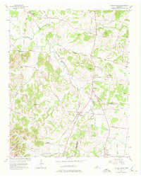
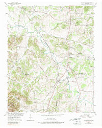
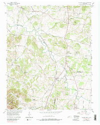
Editions of this 1957 College Grove Map
4 editions found
Other maps of this area

1909 · Franklin
USGS Topo · 1:62,500

1936 · Chapel Hill
USGS Topo · 1:24,000

1936 · Rover
USGS Topo · 1:24,000

1936 · Rally Hill
USGS Topo · 1:24,000

1936 · Bethesda
USGS Topo · 1:24,000

1942 · Lebanon
USGS Topo · 1:100,000

1944 · Shelbyville
USGS Topo · 1:100,000

1946 · Bethesda
USGS Topo · 1:24,000
1947 · Rally Hill
USGS Topo · 1:24,000

1949 · Franklin
USGS Topo · 1:24,000