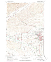
1966 Map of College Place
USGS Topo · Published 1978About this map
The Walla Walla Valley serves as a rich intersection of educational, agricultural, and historic sites along the border of Washington and Oregon. College Place dominates the landscape as a hub of learning, centered around the Walla Walla College campus and the Walla Walla Valley Academy. The map reveals a transition from these concentrated institutional grounds to the productive farmlands of the surrounding valley, where grain elevators mark rail sidings at Sudbury and Whitman.
Find a feature on this map
68 named features on this map. Tap any name to fly to it.
Don’t see what you’re looking for? This feature index may not catch every label — zoom into the map to look around manually.
Map Details
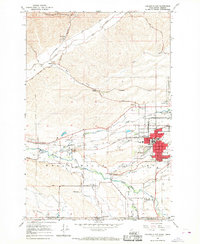
Editions of this 1966 College Place Map
2 editions found
Other maps of this area

1915 · Wallulah
USGS Topo · 1:96,000

1918 · Wallula
USGS Topo · 1:125,000

1919 · Walla Walla
USGS Topo · 1:125,000

1921 · Walla Walla
USGS Topo · 1:125,000

1935 · Pendleton
USGS Topo · 1:125,000

1953 · Pendleton
USGS Topo · 1:250,000

1953 · Walla Walla
USGS Topo · 1:250,000

1956 · Pendleton
USGS Topo · 1:250,000

1958 · Walla Walla
USGS Topo · 1:250,000

1964 · Milton-Freewater
USGS Topo · 1:24,000