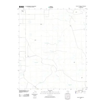
2010 Map of Collett Springs
USGS Topo · Published 2010About this map
Collett Springs and the surrounding rangelands east of Crosbyton Municipal Airport reveal a landscape defined by water management and livestock ranching. This portion of the Texas High Plains is characterized by a network of intermittent drainages including Sand Rock Creek, Blue Hole Creek, and Yankee Creek, all converging toward the White River corridor. The geography is punctuated by isolated topographic landmarks such as Indian Hill, Cedar Hill, and Negro Hill. Human presence is marked by a series of functionally named windmills and catchments, including Spindle Top Windmill, Dry Trap Windmill, and Rock Trail Tank. These features, along with a grid of rural ranch roads like Ranch Rd 651, illustrate the infrastructure required for agricultural survival in this semi-arid environment.
Find a feature on this map
26 named features on this map. Tap any name to fly to it.
Don’t see what you’re looking for? This feature index may not catch every label — zoom into the map to look around manually.
Map Details
Editions of this 2010 Collett Springs Map
This is the sole edition of this map. No revisions or reprints were ever made.
Other maps of this area

1954 · Lubbock
USGS Topo · 1:250,000

1961 · Bunker Hill
USGS Topo · 1:24,000

1962 · Smith Tank
USGS Topo · 1:24,000

1966 · Crosbyton
USGS Topo · 1:24,000

1966 · Kalgary
USGS Topo · 1:24,000

1966 · McAdoo
USGS Topo · 1:24,000

1966 · Collett Springs
USGS Topo · 1:24,000

1966 · Canyon Valley
USGS Topo · 1:24,000

1967 · Ralls SE
USGS Topo · 1:24,000

1967 · Ralls NE
USGS Topo · 1:24,000