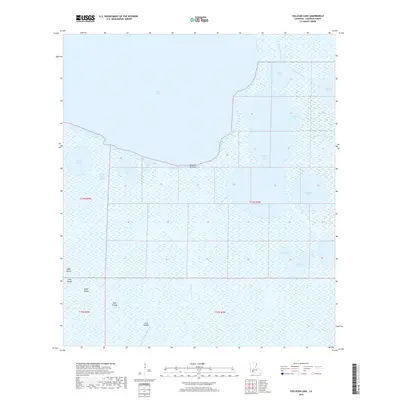
2018 Map of Collicon Lake
USGS Topo · Published 2018About this map
Collicon Lake and the vast marshlands of Cameron Parish dominate this landscape, where the terrestrial and aquatic worlds merge through an intricate system of natural bayous and man-made waterways. The presence of Cheniere du Fond signifies the subtle elevations of relic beach ridges that historically provided firm ground amidst the wetlands. This 2018 survey reveals a hydrologic network shaped by the Southwest Bayou and the Blackfish Canal, connecting larger bodies like Grand Lake to smaller, distinct basins such as Petit Lac L'Huit and Grand Lac L'Huit. The mapping of features like Eagle Island, High Island, and the Little Islands provides critical spatial data for researchers tracking the shifting geography of the Louisiana coast, where small rises in elevation define the limits of habitable land and wildlife habitat.
Find a feature on this map
26 named features on this map. Tap any name to fly to it.
Don’t see what you’re looking for? This feature index may not catch every label — zoom into the map to look around manually.
Map Details
Editions of this 2018 Collicon Lake Map
This is the sole edition of this map. No revisions or reprints were ever made.
Other maps of this area

1932 · Constance Bayou NE
USGS Topo · 1:31,680

1932 · Constance Bayou NW
USGS Topo · 1:31,680

1934 · Catfish Lake
USGS Topo · 1:24,000

1934 · Latania Lake
USGS Topo · 1:24,000

1935 · Catfish Lake
USGS Topo · 1:31,680

1935 · Latania Lake
USGS Topo · 1:31,680

1946 · Hog Bayou NE
USGS Topo · 1:31,680

1949 · Hog Bayou NE
USGS Topo · 1:31,680

1954 · Grand Lake East NW
USGS Topo · 1:31,680

1954 · Grand Lake East SE
USGS Topo · 1:31,680