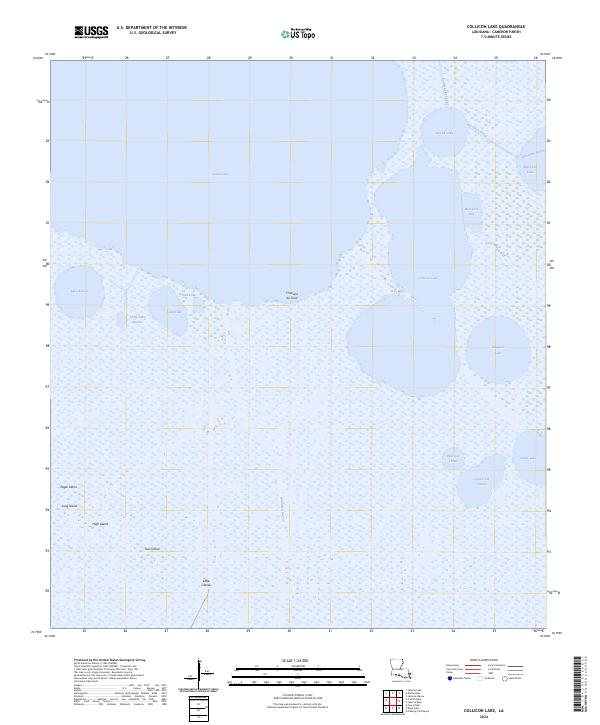
2024 Map of Collicon Lake
USGS Topo · Published 2024About this map
Cheniere du Fond stands as a prominent topographical feature along the southern reaches of Grand Lake, illustrating the unique coastal ridge landscape of Cameron Parish. This 2024 map documents a complex system of interconnected waterways and marshland, where the southern boundary of Grand Lake transitions into smaller bodies such as Collicon Lake and Lake Benoit. The naming conventions reflect a blend of English and French influence, seen in features like Grand Lac L'Huit and Petit Lac L'Huit.
Find a feature on this map
28 named features on this map. Tap any name to fly to it.
Don’t see what you’re looking for? This feature index may not catch every label — zoom into the map to look around manually.
Map Details
Editions of this 2024 Collicon Lake Map
This is the sole edition of this map. No revisions or reprints were ever made.
Other maps of this area

1932 · Constance Bayou NE
USGS Topo · 1:31,680

1932 · Constance Bayou NW
USGS Topo · 1:31,680

1934 · Catfish Lake
USGS Topo · 1:24,000

1934 · Latania Lake
USGS Topo · 1:24,000

1935 · Catfish Lake
USGS Topo · 1:31,680

1935 · Latania Lake
USGS Topo · 1:31,680

1946 · Hog Bayou NE
USGS Topo · 1:31,680

1949 · Hog Bayou NE
USGS Topo · 1:31,680

1954 · Grand Lake East NW
USGS Topo · 1:31,680

1954 · Grand Lake East SE
USGS Topo · 1:31,680