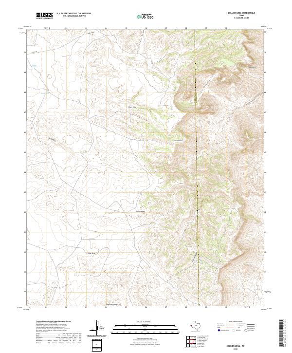
2022 Map of Collier Mesa
USGS Topo · Published 2022About this map
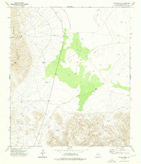
Sierra Diablo defines the stark landscape of this Hudspeth County quadrangle, where the massive plateau of Collier Mesa dominates the central terrain. The topography is deeply incised by a series of ephemeral watercourses including Collier Draw, Dusty Draw, and Cedar Draw, which drain the arid highlands. To the east, the terrain drops precipitously at the Diablo Rim, giving way to the dramatic depths of Victorio Canyon and its northern branch, Little Victorio Canyon. Evidence of land management in this remote stretch of West Texas is found in isolated features such as Cedar Tank and Dusty Tank, crucial water sources for livestock in a region where surface water is otherwise limited to seasonal runoff. The map also records the county boundary between Hudspeth and Culberson counties as it traverses these high ridges.
Find a feature on this map
15 named features on this map. Tap any name to fly to it.
Don’t see what you’re looking for? This feature index may not catch every label — zoom into the map to look around manually.
Map Details
Editions of this 2022 Collier Mesa Map
This is the sole edition of this map. No revisions or reprints were ever made.
Other maps of this area

1895 · Sierra Blanca
USGS Topo · 1:125,000

1906 · Van Horn
USGS Topo · 1:125,000

1954 · Van Horn
USGS Topo · 1:250,000

1958 · Van Horn
USGS Topo · 1:250,000
1964 · Sheep Peak
USGS Topo · 1:24,000
1964 · Nutt Ranch
USGS Topo · 1:24,000
1964 · Bean Hills
USGS Topo · 1:24,000

1973 · Sneed Mountain NE
USGS Topo · 1:24,000
1973 · Victorio Peak
USGS Topo · 1:24,000

1973 · Apache Peak
USGS Topo · 1:24,000