
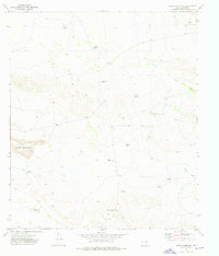
1973 Map of Sneed Mountain NE
USGS Topo · Published 1976About this map
The Honeycutt Ranch serves as a lone human outpost in this high-desert region of the Sierra Diablo mountains during the early 1970s. The landscape is defined by an intricate network of water management features essential for ranching in such an arid environment, including named catchments like Schuessler Tank, Hubert Tank, and Rock Bottom Tank. These water sources are scattered throughout the winding topography of Apache Canyon and the broad Witherspoon Draw.
Find a feature on this map
26 named features on this map. Tap any name to fly to it.
Don’t see what you’re looking for? This feature index may not catch every label — zoom into the map to look around manually.
Map Details
Editions of this 1973 Sneed Mountain NE Map
This is the sole edition of this map. No revisions or reprints were ever made.
Other maps of this area

1895 · Sierra Blanca
USGS Topo · 1:125,000

1906 · Van Horn
USGS Topo · 1:125,000

1954 · Van Horn
USGS Topo · 1:250,000

1955 · Black Mountains
USGS Topo · 1:62,500

1958 · Van Horn
USGS Topo · 1:250,000

1973 · Norton Mesa
USGS Topo · 1:24,000

1973 · Bitter Well Mountain SW
USGS Topo · 1:24,000

1973 · Apache Peak
USGS Topo · 1:24,000
1973 · Sneed Mountain
USGS Topo · 1:24,000
1973 · Movie Mountain
USGS Topo · 1:24,000