
1973 Map of Norton Mesa
USGS Topo · Published 1976About this map
Norton Mesa and Roberts Mesa dominate this high-desert landscape in Hudspeth County, where survival in the early 1970s relied on a complex network of man-made water catchments. The topography is defined by these broad plateaus and the family-run livestock operations that utilized the sparse vegetation. Remote outposts like the Fredrick Ranch and Love Ranch are the primary signs of habitation, connected by primitive roads and drainage-fed tanks. The naming of these water sources, including Andy Grant Tank, Twentyone Tank, and Big Parker Tank, highlights the importance of specific family names and landmarks in a region where water is the most precious resource. This survey captures the specialized infrastructure of West Texas ranching before modern changes altered the local land use patterns.
Find a feature on this map
18 named features on this map. Tap any name to fly to it.
Don’t see what you’re looking for? This feature index may not catch every label — zoom into the map to look around manually.
Map Details
Editions of this 1973 Norton Mesa Map
This is the sole edition of this map. No revisions or reprints were ever made.
Other maps of this area

1895 · Sierra Blanca
USGS Topo · 1:125,000

1948 · Triple Hill
USGS Topo · 1:62,500

1951 · Red Hills
USGS Topo · 1:62,500

1954 · Van Horn
USGS Topo · 1:250,000

1955 · Black Mountains
USGS Topo · 1:62,500

1958 · Van Horn
USGS Topo · 1:250,000

1973 · Sneed Mountain NE
USGS Topo · 1:24,000
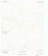
1973 · Sneed Mountain
USGS Topo · 1:24,000
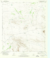
1973 · Movie Mountain
USGS Topo · 1:24,000
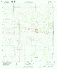
1979 · Pierce Ranch
USGS Topo · 1:24,000