
1973 Map of Apache Peak
USGS Topo · Published 1976About this map
The Sierra Diablo Rim dominates this high-altitude terrain, where the Hudspeth and Culberson County line cuts through a landscape defined by deep canyons and remote ranching operations. In the early 1970s, the area's geography was largely centered around water access and livestock management, evidenced by features like Roberts Well, New Tank, and the lone Puett Ranch. Transport in this difficult environment relied on a network of Jeep Trails and the isolated Witherspoon Landing Strip, highlighting the distance between this region and established Texas infrastructure.
Find a feature on this map
21 named features on this map. Tap any name to fly to it.
Don’t see what you’re looking for? This feature index may not catch every label — zoom into the map to look around manually.
Map Details
Editions of this 1973 Apache Peak Map
This is the sole edition of this map. No revisions or reprints were ever made.
Other maps of this area

1895 · Sierra Blanca
USGS Topo · 1:125,000

1906 · Van Horn
USGS Topo · 1:125,000

1954 · Van Horn
USGS Topo · 1:250,000

1955 · Black Mountains
USGS Topo · 1:62,500

1958 · Van Horn
USGS Topo · 1:250,000

1973 · Bitter Well Mountain SW
USGS Topo · 1:24,000

1973 · Sneed Mountain NE
USGS Topo · 1:24,000
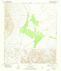
1973 · Victorio Peak
USGS Topo · 1:24,000

1973 · Bitter Well Mountain
USGS Topo · 1:24,000
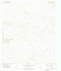
1973 · Sneed Mountain
USGS Topo · 1:24,000