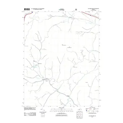
2011 Map of Collierstown
USGS Topo · Published 2011About this map
Collierstown and the surrounding Rockbridge County hillsides are defined by the convergence of several waterways, including Colliers Creek, Buffalo Creek, and Blacks Creek. This 2011 survey illustrates the rural character of the area, where small settlements like Denmark and Effinger are linked by a network of winding roads like Turnpike Rd and W Midland Trl. The prominence of local family names is evident in the numerous burial grounds, including the Hartbarger Cemetery, Kerrs Creek Cemetery, and Mount Moreland Cemetery, which provide significant points of interest for genealogical research.
Find a feature on this map
67 named features on this map. Tap any name to fly to it.
Don’t see what you’re looking for? This feature index may not catch every label — zoom into the map to look around manually.
Map Details
Editions of this 2011 Collierstown Map
This is the sole edition of this map. No revisions or reprints were ever made.
Other maps of this area

1894 · Natural Bridge
USGS Topo · 1:125,000

1894 · Lexington
USGS Topo · 1:125,000

1894 · Natural Bridge
USGS Topo · 1:62,500

1907 · Natural Bridge Special
USGS Topo · 1:62,500

1932 · Lexington
USGS Topo · 1:48,000

1935 · Buena Vista
USGS Topo · 1:48,000

1937 · Lexington
USGS Topo · 1:62,500

1939 · Buena Vista
USGS Topo · 1:62,500

1940 · Buena Vista
USGS Topo · 1:62,500

1946 · Millboro
USGS Topo · 1:62,500