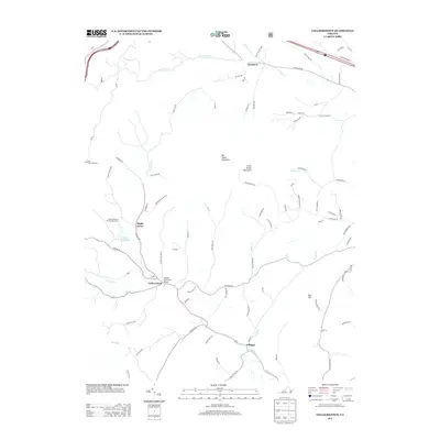
2013 Map of Collierstown
USGS Topo · Published 2013About this map
Big House Mountain and Little House Mountain dominate the central relief of this 2013 quadrangle, creating a rugged backdrop for the valley settlements of Rockbridge County. Small communities and rural junctions define the human footprint, from Denmark in the north to Effinger in the south, connected by a network of winding roads like the W Midland Trl and Blue Grass Trl. The map illustrates a landscape shaped by water and recreation, centered on the Lake Robertson Recreational Area and the namesake Lake Robertson.
Find a feature on this map
80 named features on this map. Tap any name to fly to it.
Don’t see what you’re looking for? This feature index may not catch every label — zoom into the map to look around manually.
Map Details
Editions of this 2013 Collierstown Map
This is the sole edition of this map. No revisions or reprints were ever made.
Other maps of this area

1894 · Natural Bridge
USGS Topo · 1:125,000

1894 · Lexington
USGS Topo · 1:125,000

1894 · Natural Bridge
USGS Topo · 1:62,500

1907 · Natural Bridge Special
USGS Topo · 1:62,500

1932 · Lexington
USGS Topo · 1:48,000

1935 · Buena Vista
USGS Topo · 1:48,000

1937 · Lexington
USGS Topo · 1:62,500

1939 · Buena Vista
USGS Topo · 1:62,500

1940 · Buena Vista
USGS Topo · 1:62,500

1946 · Millboro
USGS Topo · 1:62,500