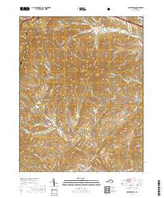
2019 Map of Collierstown
USGS Topo · Published 2019About this map
Colliers Creek flows through a landscape defined by prominent ridges and quiet settlements on the eastern edge of the George Washington National Forest. The small community of Collierstown serves as a local hub, anchored by the Collierstown Cem and the Herbert B Chittum Bridge. To the north, the terrain is dominated by the twin peaks of Big House Mtn and Little House Mtn, which overlook the headwaters of Whistle Cr and Kerrs Cr.
Find a feature on this map
89 named features on this map. Tap any name to fly to it.
Don’t see what you’re looking for? This feature index may not catch every label — zoom into the map to look around manually.
Map Details
Editions of this 2019 Collierstown Map
This is the sole edition of this map. No revisions or reprints were ever made.
Other maps of this area

1894 · Natural Bridge
USGS Topo · 1:125,000

1894 · Lexington
USGS Topo · 1:125,000

1894 · Natural Bridge
USGS Topo · 1:62,500

1907 · Natural Bridge Special
USGS Topo · 1:62,500

1932 · Lexington
USGS Topo · 1:48,000

1935 · Buena Vista
USGS Topo · 1:48,000

1937 · Lexington
USGS Topo · 1:62,500

1939 · Buena Vista
USGS Topo · 1:62,500

1940 · Buena Vista
USGS Topo · 1:62,500

1946 · Millboro
USGS Topo · 1:62,500