
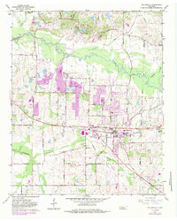
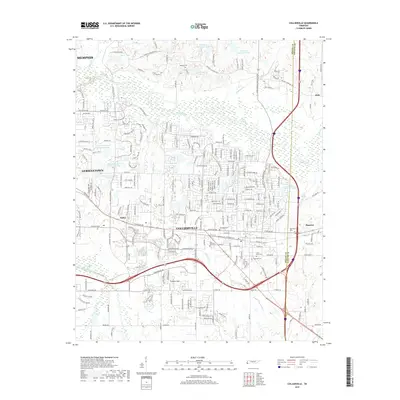
1968 Map of Collierville
USGS Topo · Published 1968About this map
The Wolf River winds through the heart of the landscape, defining the transition between Shelby County and Fayette County. In the southern portion of the sheet, Collierville stands as a primary hub along the Southern RR, flanked by the nearby communities of Piperton and Rossville Junction. The area is densely patterned with rural institutions of the 1960s, including Mt Pisgah High Sch, Friendship Temple, and Morning Sun Ch.
Find a feature on this map
120 named features on this map. Tap any name to fly to it.
Don’t see what you’re looking for? This feature index may not catch every label — zoom into the map to look around manually.
Map Details
Editions of this 1968 Collierville Map
This is the sole edition of this map. No revisions or reprints were ever made.
Historical Maps of Memphis Through Time
9 maps found

1943 Collierville
Shelby County, TN

1953 Collierville
Shelby County, TN
1965 Collierville
Shelby County, TN
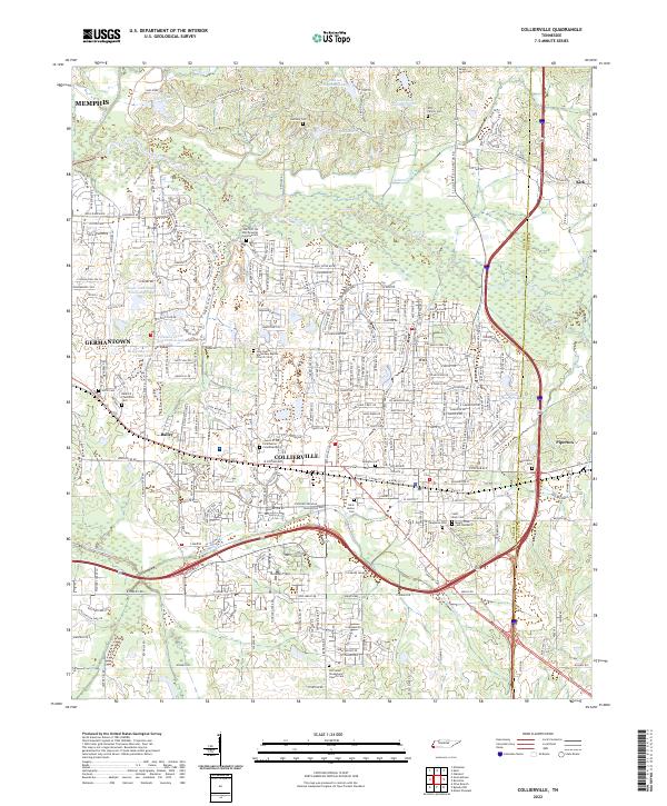
1968 Collierville
Shelby County, TN
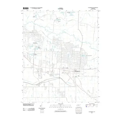
2010 Collierville
Shelby County, TN
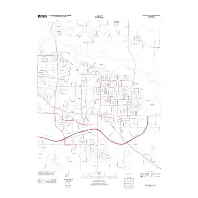
2013 Collierville
Shelby County, TN
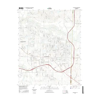
2016 Collierville
Shelby County, TN
2019 Collierville
Shelby County, TN
2022 Collierville
Shelby County, TN