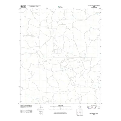
2010 Map of Collins Creek SW
USGS Topo · Published 2010About this map
Fish Creek and its many seasonal tributaries carve through this section of Shackelford County, defining the drainage patterns of a landscape managed largely through private ranch and access roads. The network of corridors, including Cook Field Rd and several numbered private routes like Pvt Rd 1780, suggests a rural economy tied to land management and local energy or agricultural interests. Water remains the primary geographical anchor for the area, with Swager Creek, Fogle Creek, and Bluff Creek providing the necessary relief in an otherwise subtle terrain. The absence of traditional town centers highlights the sprawling nature of these Texas holdings during the early twenty-first century.
Find a feature on this map
10 named features on this map. Tap any name to fly to it.
Don’t see what you’re looking for? This feature index may not catch every label — zoom into the map to look around manually.
Map Details
Editions of this 2010 Collins Creek SW Map
This is the sole edition of this map. No revisions or reprints were ever made.
Other maps of this area

1891 · Anson
USGS Topo · 1:125,000

1892 · Albany
USGS Topo · 1:125,000

1893 · Albany
USGS Topo · 1:125,000

1893 · Anson
USGS Topo · 1:125,000

1954 · Abilene
USGS Topo · 1:250,000

1957 · Nugent
USGS Topo · 1:62,500

1958 · Abilene
USGS Topo · 1:250,000

1965 · Acampo
USGS Topo · 1:24,000

1965 · Lueders NE
USGS Topo · 1:24,000

1965 · Collins Creek
USGS Topo · 1:24,000