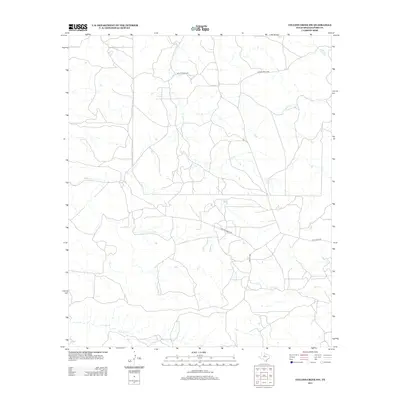
2012 Map of Collins Creek SW
USGS Topo · Published 2012About this map
Fish Cr and Swager Cr define the drainage patterns of this Shackelford County landscape, where the terrain is largely shaped by the winding paths of seasonal watercourses. The map reveals a rural expanse dominated by private access and ranching infrastructure rather than public thoroughfares, with designated routes such as Private Road 2270 and Private Road 1780 providing the primary network through the territory. This pattern of land use is typical of the Rolling Plains region, where large holdings are serviced by a complex system of internal roads. In the southeastern reaches, Cook Field Rd and the drainage of Cook Cr suggest localized activity and potential petroleum or ranching interests, characteristic of this part of West Texas during the early 21st century.
Find a feature on this map
10 named features on this map. Tap any name to fly to it.
Don’t see what you’re looking for? This feature index may not catch every label — zoom into the map to look around manually.
Map Details
Editions of this 2012 Collins Creek SW Map
This is the sole edition of this map. No revisions or reprints were ever made.
Other maps of this area

1891 · Anson
USGS Topo · 1:125,000

1892 · Albany
USGS Topo · 1:125,000

1893 · Albany
USGS Topo · 1:125,000

1893 · Anson
USGS Topo · 1:125,000

1954 · Abilene
USGS Topo · 1:250,000

1957 · Nugent
USGS Topo · 1:62,500

1958 · Abilene
USGS Topo · 1:250,000

1965 · Acampo
USGS Topo · 1:24,000

1965 · Lueders NE
USGS Topo · 1:24,000

1965 · Collins Creek
USGS Topo · 1:24,000