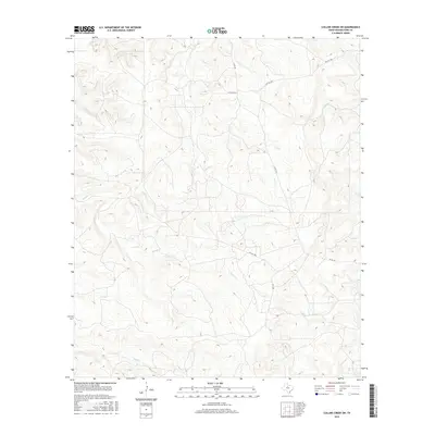
2016 Map of Collins Creek SW
USGS Topo · Published 2016About this map
Fish Cr and Fouts Cr drain the dissected ranchlands of Shackelford County, defining the drainage patterns of this rural landscape during the early 21st century. The terrain is marked by a network of seasonal watercourses including Swager Cr in the west and Cook Cr in the southeast, while Bluff Cr skirts the southern margin. This modern topographic study reveals a territory dominated by private landholdings, where access is primarily via rural routes like Co Rd 157 and numerous restricted thoroughfares such as Pvt Rd 1780 and Pvt Rd 2270. The lack of dense settlement or public infrastructure highlights the region's continued character as open range or large-acreage ranching country, with many roads specifically designated for private use.
Find a feature on this map
10 named features on this map. Tap any name to fly to it.
Don’t see what you’re looking for? This feature index may not catch every label — zoom into the map to look around manually.
Map Details
Editions of this 2016 Collins Creek SW Map
This is the sole edition of this map. No revisions or reprints were ever made.
Other maps of this area

1891 · Anson
USGS Topo · 1:125,000

1892 · Albany
USGS Topo · 1:125,000

1893 · Albany
USGS Topo · 1:125,000

1893 · Anson
USGS Topo · 1:125,000

1954 · Abilene
USGS Topo · 1:250,000

1957 · Nugent
USGS Topo · 1:62,500

1958 · Abilene
USGS Topo · 1:250,000

1965 · Acampo
USGS Topo · 1:24,000

1965 · Lueders NE
USGS Topo · 1:24,000

1965 · Collins Creek
USGS Topo · 1:24,000