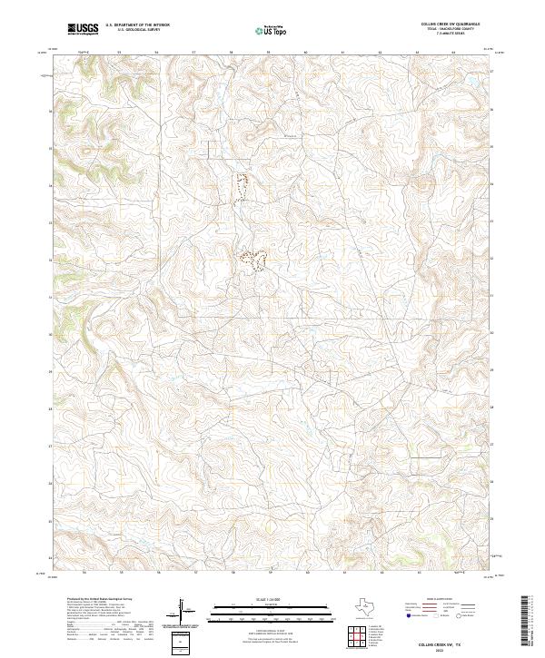
2022 Map of Collins Creek SW
USGS Topo · Published 2022About this map
The rolling ranchlands of Shackelford County are defined by a complex drainage system feeding into numerous seasonal streams. Central to this landscape are Fish Cr and Swager Cr, which carve through the terrain alongside other local water bodies like Foyle Cr, Cook Cr, and Bluff Cr. This 2022 survey reveals a sparse network of infrastructure typical of contemporary West Texas, where movement is dictated by a handful of established routes such as Co Rd 157 and several private passages including Pvt Rd 1780 and Pvt Rd 2270. The topography is characterized by intricate contour lines that illustrate the eroded breaks and upland flats of the region, providing a modern topographical record of this largely undeveloped territory.
Find a feature on this map
10 named features on this map. Tap any name to fly to it.
Don’t see what you’re looking for? This feature index may not catch every label — zoom into the map to look around manually.
Map Details
Editions of this 2022 Collins Creek SW Map
This is the sole edition of this map. No revisions or reprints were ever made.
Other maps of this area

1891 · Anson
USGS Topo · 1:125,000

1892 · Albany
USGS Topo · 1:125,000

1893 · Albany
USGS Topo · 1:125,000

1893 · Anson
USGS Topo · 1:125,000

1954 · Abilene
USGS Topo · 1:250,000

1957 · Nugent
USGS Topo · 1:62,500

1958 · Abilene
USGS Topo · 1:250,000

1965 · Acampo
USGS Topo · 1:24,000

1965 · Lueders NE
USGS Topo · 1:24,000

1965 · Collins Creek
USGS Topo · 1:24,000