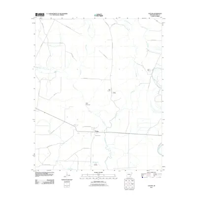
2011 Map of Collins
USGS Topo · Published 2011About this map
The unincorporated community of Collins serves as the central point of this Drew County landscape, where the flatlands are defined by a complex network of waterways and drainage. Cutoff Creek meanders north to south, passing the Seven Devils Swamp Dam, while Dry Bayou and Punch Creek carve through the surrounding agricultural and timber lands. The area's settled history is well-documented through several family and community burial grounds, including the Mount Olive Cemetery, Bowden Cemetery, and Solomon Allen Cemetery.
Find a feature on this map
36 named features on this map. Tap any name to fly to it.
Don’t see what you’re looking for? This feature index may not catch every label — zoom into the map to look around manually.
Map Details
Editions of this 2011 Collins Map
This is the sole edition of this map. No revisions or reprints were ever made.
Other maps of this area

1935 · Mist
USGS Topo · 1:62,500

1935 · Cominto
USGS Topo · 1:62,500

1936 · McGehee
USGS Topo · 1:62,500

1936 · Lake Village
USGS Topo · 1:62,500

1937 · McGehee
USGS Topo · 1:62,500

1953 · Greenwood
USGS Topo · 1:250,000

1955 · Lake Village
USGS Topo · 1:62,500

1955 · McGehee
USGS Topo · 1:62,500

1956 · Greenwood
USGS Topo · 1:250,000

1960 · Mist
USGS Topo · 1:62,500