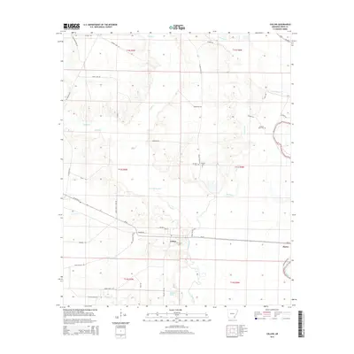
2014 Map of Collins
USGS Topo · Published 2014About this map
Collins serves as the central hub of this eastern Drew County landscape, where the local road network converges near the Collins Cem. The geography is defined by a complex hydraulic system of creeks and bayous, notably the winding path of Bayou Bartholomew on the eastern edge and the central corridor of Cutoff Cr. Large water bodies like Seven Devils Lake and Big Lake indicate the low-lying, often saturated nature of this region.
Find a feature on this map
50 named features on this map. Tap any name to fly to it.
Don’t see what you’re looking for? This feature index may not catch every label — zoom into the map to look around manually.
Map Details
Editions of this 2014 Collins Map
This is the sole edition of this map. No revisions or reprints were ever made.
Other maps of this area

1935 · Mist
USGS Topo · 1:62,500

1935 · Cominto
USGS Topo · 1:62,500

1936 · McGehee
USGS Topo · 1:62,500

1936 · Lake Village
USGS Topo · 1:62,500

1937 · McGehee
USGS Topo · 1:62,500

1953 · Greenwood
USGS Topo · 1:250,000

1955 · Lake Village
USGS Topo · 1:62,500

1955 · McGehee
USGS Topo · 1:62,500

1956 · Greenwood
USGS Topo · 1:250,000

1960 · Mist
USGS Topo · 1:62,500