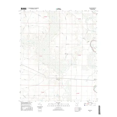
2017 Map of Collins
USGS Topo · Published 2017About this map
Bayou Bartholomew winds through the eastern edge of this Drew County landscape, defining a low-lying region characterized by a complex network of brakes and creeks. The settlement of Collins serves as a central point of interest, situated near the Collins Cem and several agricultural roads. This area is dominated by the sprawling wetlands surrounding Seven Devils Lake and Big Lake, which are fed by Cutoff Cr.
Find a feature on this map
51 named features on this map. Tap any name to fly to it.
Don’t see what you’re looking for? This feature index may not catch every label — zoom into the map to look around manually.
Map Details
Editions of this 2017 Collins Map
This is the sole edition of this map. No revisions or reprints were ever made.
Other maps of this area

1935 · Mist
USGS Topo · 1:62,500

1935 · Cominto
USGS Topo · 1:62,500

1936 · McGehee
USGS Topo · 1:62,500

1936 · Lake Village
USGS Topo · 1:62,500

1937 · McGehee
USGS Topo · 1:62,500

1953 · Greenwood
USGS Topo · 1:250,000

1955 · Lake Village
USGS Topo · 1:62,500

1955 · McGehee
USGS Topo · 1:62,500

1956 · Greenwood
USGS Topo · 1:250,000

1960 · Mist
USGS Topo · 1:62,500