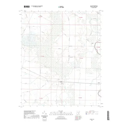
2020 Map of Collins
USGS Topo · Published 2020About this map
Collins and Baxter serve as the primary nodes of settlement in this low-lying region of Drew County, where the landscape is defined by an intricate network of waterways and swampy brakes. The eastern boundary is traced by the winding course of Bayou Bartholomew, while the interior is dominated by the extensive wetlands surrounding Seven Devils Lake. This environment shaped the local development, with early roads like Seven Devils Dirt Rd and Selma Collins Rd navigating around the seasonal hydrology of Cutoff Creek and Dry Bayou. Genealogists and local historians will find several well-preserved family and community burial sites, including Solomon Allen Cem, Mount Olive Cem, and the Collins Cem near the town center. The map reveals a rural economy tied to the land, with scattered homesteads and small lakes such as Bynum Lake and Poff Brake situated among the timber and bottomlands.
Find a feature on this map
46 named features on this map. Tap any name to fly to it.
Don’t see what you’re looking for? This feature index may not catch every label — zoom into the map to look around manually.
Map Details
Editions of this 2020 Collins Map
This is the sole edition of this map. No revisions or reprints were ever made.
Other maps of this area

1935 · Mist
USGS Topo · 1:62,500

1935 · Cominto
USGS Topo · 1:62,500

1936 · McGehee
USGS Topo · 1:62,500

1936 · Lake Village
USGS Topo · 1:62,500

1937 · McGehee
USGS Topo · 1:62,500

1953 · Greenwood
USGS Topo · 1:250,000

1955 · Lake Village
USGS Topo · 1:62,500

1955 · McGehee
USGS Topo · 1:62,500

1956 · Greenwood
USGS Topo · 1:250,000

1960 · Mist
USGS Topo · 1:62,500