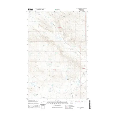
2017 Map of Collins Reservoir
USGS Topo · Published 2017About this map
Collins Reservoir and a vast network of water management features dominate this landscape in Valley County, Montana. The terrain is characterized by numerous small-scale water storage sites and detention basins, including the Gunshot Detention Reservoir, Skull Reservoir, and the uniquely named Your Name Reservoir. These features, often located at the heads of coulees like Pearson Coulee and White Rock Coulee, reflect the critical importance of water catchment in this arid northern plains environment.
Find a feature on this map
42 named features on this map. Tap any name to fly to it.
Don’t see what you’re looking for? This feature index may not catch every label — zoom into the map to look around manually.
Map Details
Editions of this 2017 Collins Reservoir Map
This is the sole edition of this map. No revisions or reprints were ever made.
Other maps of this area

1943 · Glasgow
USGS Topo · 1:125,000

1954 · Jordan
USGS Topo · 1:250,000

1954 · Glasgow
USGS Topo · 1:250,000

1956 · Jordan
USGS Topo · 1:250,000

1957 · Glasgow
USGS Topo · 1:250,000

1958 · Glasgow
USGS Topo · 1:250,000

1958 · Jordan
USGS Topo · 1:250,000

1958 · Miller Coulee
USGS Topo · 1:62,500

1958 · Collins Ranch
USGS Topo · 1:62,500

1964 · Jordan
USGS Topo · 1:250,000