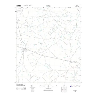
2011 Map of Collins
USGS Topo · Published 2011About this map
Collins and Manassas serve as the primary hubs in this part of Tattnall County, positioned along the rail and road corridors that define the local geography. The landscape is heavily intersected by a network of waterways including Cypress Flat Creek, Cedar Creek, and Bull Creek, with several small impoundments such as Dixon-Lake and Harris Lake controlled by their respective dams. For genealogists and local historians, the sheet is particularly valuable for its documentation of family-named landmarks and burial sites. Significant locations include Jerrell Cemetery in the northwest, Rewis Cemetery and Wilkinson Cemetery centrally located near the creek bottoms, and both Old Tippins Cemetery and Tippins Cemetery further south. The Tattnall Campground near the southern boundary further highlights the area's community and social hubs during this period.
Find a feature on this map
93 named features on this map. Tap any name to fly to it.
Don’t see what you’re looking for? This feature index may not catch every label — zoom into the map to look around manually.
Map Details
Editions of this 2011 Collins Map
This is the sole edition of this map. No revisions or reprints were ever made.
Other maps of this area

1919 · Claxton
USGS Topo · 1:62,500

1920 · Statesboro
USGS Topo · 1:62,500

1943 · Statesboro
USGS Topo · 1:62,500

1944 · Claxton
USGS Topo · 1:62,500

1947 · Savannah
USGS Topo · 1:250,000

1948 · Savannah
USGS Topo · 1:250,000

1950 · Claxton
USGS Topo · 1:62,500

1957 · Macon
USGS Topo · 1:250,000

1957 · Savannah
USGS Topo · 1:250,000

1958 · Macon
USGS Topo · 1:250,000