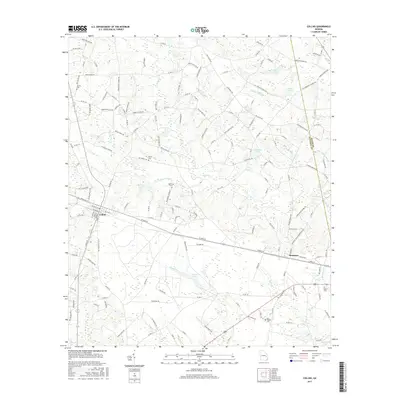
2017 Map of Collins
USGS Topo · Published 2017About this map
Collins and Manassas anchor this central Georgia landscape along a shared railroad corridor, illustrating the region's enduring agricultural and residential patterns. Small family burial sites and rural resting places are scattered throughout the territory, including Jerrell Cem, the Wilkerson Cemetery, and Old Tippins Cem. These sites, often situated near minor watercourses like Water Hole Cr and Cypress Flat Cr, provide significant markers for genealogical research and local history.
Find a feature on this map
158 named features on this map. Tap any name to fly to it.
Don’t see what you’re looking for? This feature index may not catch every label — zoom into the map to look around manually.
Map Details
Editions of this 2017 Collins Map
This is the sole edition of this map. No revisions or reprints were ever made.
Other maps of this area

1919 · Claxton
USGS Topo · 1:62,500

1920 · Statesboro
USGS Topo · 1:62,500

1943 · Statesboro
USGS Topo · 1:62,500

1944 · Claxton
USGS Topo · 1:62,500

1947 · Savannah
USGS Topo · 1:250,000

1948 · Savannah
USGS Topo · 1:250,000

1950 · Claxton
USGS Topo · 1:62,500

1957 · Macon
USGS Topo · 1:250,000

1957 · Savannah
USGS Topo · 1:250,000

1958 · Macon
USGS Topo · 1:250,000