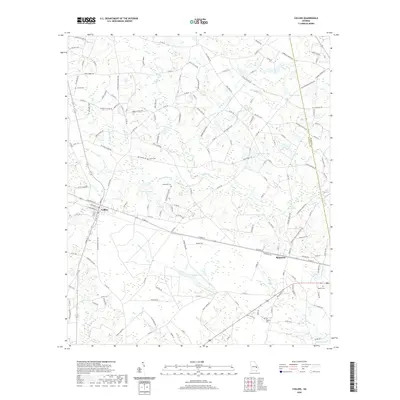
2020 Map of Collins
USGS Topo · Published 2020About this map
The town of Collins serves as a central hub for the rail and road network of eastern Georgia, where local routes like W Main St and Railroad Ave trace the historic transit corridors of the region. Just to the east, the settlement of Manassas sits near the crossing of Thomas Cr, marking a landscape defined by an intricate system of swampy lowlands and water bodies. This area is heavily dotted with family-named landmarks and ancestral burial grounds, including the Wilkinson Cem, Jerrell Cem, and Rewis Cem, which provide significant points of interest for genealogical research. The hydrology is dominated by numerous lakes and ponds, such as Rogers Lake, Calloway Lake, and Mose Pond, which drain into larger arteries like Cedar Cr. The county line between Tattnall Co and Evans Co runs through the eastern portion of the map, following the winding path of the local creek system.
Find a feature on this map
156 named features on this map. Tap any name to fly to it.
Don’t see what you’re looking for? This feature index may not catch every label — zoom into the map to look around manually.
Map Details
Editions of this 2020 Collins Map
This is the sole edition of this map. No revisions or reprints were ever made.
Other maps of this area

1919 · Claxton
USGS Topo · 1:62,500

1920 · Statesboro
USGS Topo · 1:62,500

1943 · Statesboro
USGS Topo · 1:62,500

1944 · Claxton
USGS Topo · 1:62,500

1947 · Savannah
USGS Topo · 1:250,000

1948 · Savannah
USGS Topo · 1:250,000

1950 · Claxton
USGS Topo · 1:62,500

1957 · Macon
USGS Topo · 1:250,000

1957 · Savannah
USGS Topo · 1:250,000

1958 · Macon
USGS Topo · 1:250,000