2024 Map of Collins
USGS Topo · Published 2024About this map
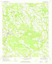
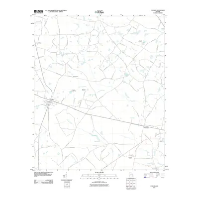
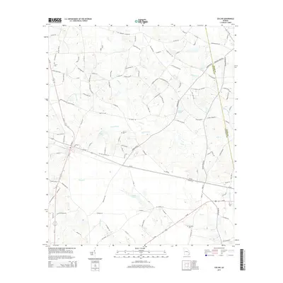
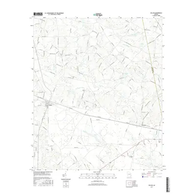
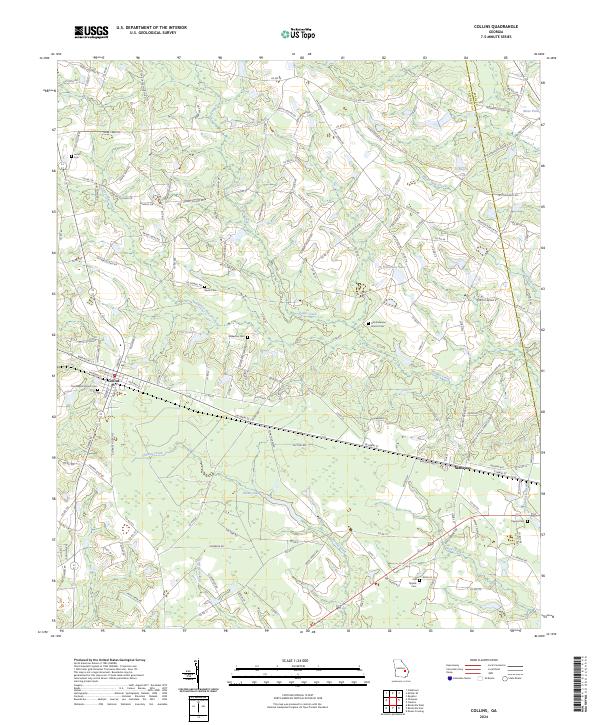
The town of Collins serves as a primary hub in this portion of Tattnall County, where the railway corridor connects it to the neighboring settlement of Manassas. The landscape is defined by the winding course of Cedar Creek and a network of smaller tributaries including Cypress Flat Creek and Thomas Creek. The distribution of family-named cemeteries such as Tippins Cemetery, Wilkerson Cemetery, and Rewis Cemetery indicates a long-standing pattern of rural settlement and ancestral landholdings typical of South Georgia.
Find a feature on this map
162 named features on this map. Tap any name to fly to it.
Don’t see what you’re looking for? This feature index may not catch every label — zoom into the map to look around manually.
Map Details
Editions of this 2024 Collins Map
This is the sole edition of this map. No revisions or reprints were ever made.
Historical Maps of Collins Through Time
6 maps found