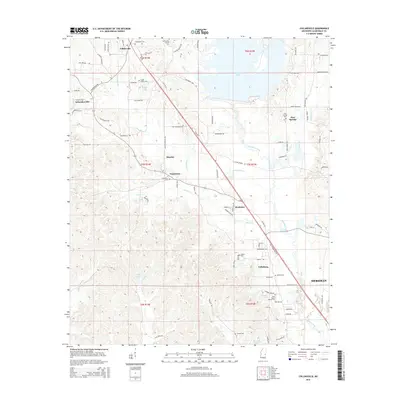
2015 Map of Collinsville
USGS Topo · Published 2015About this map
Collinsville and the surrounding rural communities of Lauderdale County are defined by the winding paths of Suqualena Creek and Okatibbee Creek. This area northwest of Meridian shows a landscape deeply rooted in its local institutions, evidenced by the high density of community burial grounds such as Collinsville Cemetery and West Mount Moriah Cemetery. The terrain is shaped by the sprawling Okatibbee Lake, which dominates the northeastern quadrant of the quadrangle. Smaller settlements like Schamberville, Suqualena, and Pine Springs are connected by a network of local roads such as Church Road and Old Highway 494. Local landmarks including Walker Lake and Irby Lake dot the countryside, while the reach of the regional center is felt near the southeastern corner at Nellieburg.
Find a feature on this map
98 named features on this map. Tap any name to fly to it.
Don’t see what you’re looking for? This feature index may not catch every label — zoom into the map to look around manually.
Map Details
Editions of this 2015 Collinsville Map
This is the sole edition of this map. No revisions or reprints were ever made.
Other maps of this area

1921 · Meridian
USGS Topo · 1:48,000

1923 · Meridian
USGS Topo · 1:62,500

1953 · Meridian
USGS Topo · 1:250,000

1957 · Meridian
USGS Topo · 1:250,000

1957 · Chunky
USGS Topo · 1:62,500

1962 · Daleville
USGS Topo · 1:24,000

1962 · Center Hill
USGS Topo · 1:24,000

1962 · Post
USGS Topo · 1:24,000

1965 · Meridian
USGS Topo · 1:250,000

1971 · Meridian South
USGS Topo · 1:24,000