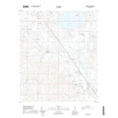
2020 Map of Collinsville
USGS Topo · Published 2020About this map
Collinsville serves as the focal point for this rural pocket of Lauderdale County, where the landscape is defined by the sprawling waters of Okatibbee Lake and its primary tributaries. Small unincorporated settlements like Schamberville, Suqualena, and Hookston are interconnected by a network of winding county roads such as Old Hwy 19 S and Maiden Rd. The mapping of numerous local burial sites, including the West Mount Moriah Cem and Cedar Grove Cem, provides an essential resource for genealogists researching family ties in the Magnolia State. The drainage patterns of Suqualena Cr and Harper Cr dominate the central terrain, while the southern reaches of the quadrangle include the community of Nellieburg and smaller water bodies like Burwell Lake.
Find a feature on this map
92 named features on this map. Tap any name to fly to it.
Don’t see what you’re looking for? This feature index may not catch every label — zoom into the map to look around manually.
Map Details
Editions of this 2020 Collinsville Map
This is the sole edition of this map. No revisions or reprints were ever made.
Other maps of this area

1921 · Meridian
USGS Topo · 1:48,000

1923 · Meridian
USGS Topo · 1:62,500

1953 · Meridian
USGS Topo · 1:250,000

1957 · Meridian
USGS Topo · 1:250,000

1957 · Chunky
USGS Topo · 1:62,500

1962 · Daleville
USGS Topo · 1:24,000

1962 · Center Hill
USGS Topo · 1:24,000

1962 · Post
USGS Topo · 1:24,000

1965 · Meridian
USGS Topo · 1:250,000

1971 · Meridian South
USGS Topo · 1:24,000