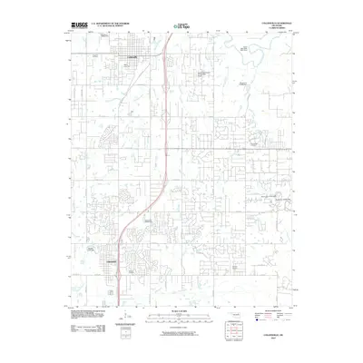
2010 Map of Collinsville
USGS Topo · Published 2010About this map
Collinsville and Owasso anchor this 2010 survey of northeastern Oklahoma, showing a landscape defined by rapid suburban expansion and a network of water management features. The area's transition from rural agriculture to residential development is evident in the dense street grids of Owasso and the proliferation of numbered residential avenues. A complex system of reservoirs and dams, including the Oknoname 143002 Dam and Owasso Lake Dam, manages the flow of waterways like Blackjack Creek and Elm Creek as they move toward the Caney River in the northeast corner. Local history is preserved in the location of several traditional burial grounds, including Ridgelawn Cemetery and Fairview Cemetery. The presence of small aviation facilities like the Sand Ridge Airpark Incorporated Airport and Gundys Airport highlights the region's infrastructure for private transport and light industry.
Find a feature on this map
57 named features on this map. Tap any name to fly to it.
Don’t see what you’re looking for? This feature index may not catch every label — zoom into the map to look around manually.
Map Details
Editions of this 2010 Collinsville Map
This is the sole edition of this map. No revisions or reprints were ever made.
Other maps of this area

1901 · Claremore
USGS Topo · 1:125,000

1914 · Claremore
USGS Topo · 1:125,000

1916 · Claremore
USGS Topo · 1:125,000

1954 · Tulsa
USGS Topo · 1:250,000

1954 · Tulsa
USGS Topo · 1:24,000

1955 · Sperry
USGS Topo · 1:24,000

1955 · Mingo
USGS Topo · 1:24,000

1956 · Collinsville
USGS Topo · 1:24,000

1958 · Tulsa
USGS Topo · 1:250,000

1959 · Collinsville NE
USGS Topo · 1:24,000