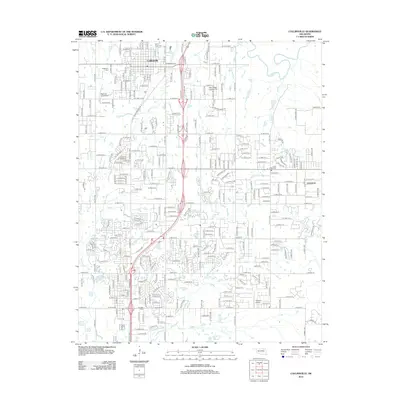
2012 Map of Collinsville
USGS Topo · Published 2012About this map
Collinsville anchors the northern portion of this survey, where the street grid transitions into a landscape shaped by the Caney River and its numerous tributaries. The area is notable for its concentration of private aviation and specialized cemeteries, including the Victory Indian Cem and Ridgelawn Cem near the town center. To the south, the expansion of the suburbs is evident around Owasso Lake and the settlement of Limestone, which is nestled near the intersection of Clear Brook Rd and Hobbs Cr.
Find a feature on this map
203 named features on this map. Tap any name to fly to it.
Don’t see what you’re looking for? This feature index may not catch every label — zoom into the map to look around manually.
Map Details
Editions of this 2012 Collinsville Map
This is the sole edition of this map. No revisions or reprints were ever made.
Other maps of this area

1901 · Claremore
USGS Topo · 1:125,000

1914 · Claremore
USGS Topo · 1:125,000

1916 · Claremore
USGS Topo · 1:125,000

1954 · Tulsa
USGS Topo · 1:250,000

1954 · Tulsa
USGS Topo · 1:24,000

1955 · Sperry
USGS Topo · 1:24,000

1955 · Mingo
USGS Topo · 1:24,000

1956 · Collinsville
USGS Topo · 1:24,000

1958 · Tulsa
USGS Topo · 1:250,000

1959 · Collinsville NE
USGS Topo · 1:24,000