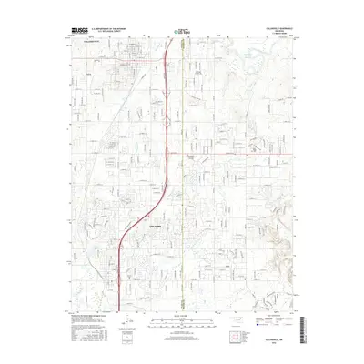
2016 Map of Collinsville
USGS Topo · Published 2016About this map
Collinsville and Owasso anchor this corridor in the mid-2010s, showing the residential expansion and infrastructure connecting these growing northeastern Oklahoma communities. The map traces the winding course of the Caney River in the northeast corner and the network of local creeks including Blackjack Cr and Elm Cr that drain the landscape. Aviation is a notable presence in the region, with several specialized facilities like Gundys Airport, Ragtime Aerodrome, and Sandridge Airpark Inc spaced between the primary settlements.
Find a feature on this map
100 named features on this map. Tap any name to fly to it.
Don’t see what you’re looking for? This feature index may not catch every label — zoom into the map to look around manually.
Map Details
Editions of this 2016 Collinsville Map
This is the sole edition of this map. No revisions or reprints were ever made.
Other maps of this area

1901 · Claremore
USGS Topo · 1:125,000

1914 · Claremore
USGS Topo · 1:125,000

1916 · Claremore
USGS Topo · 1:125,000

1954 · Tulsa
USGS Topo · 1:250,000

1954 · Tulsa
USGS Topo · 1:24,000

1955 · Sperry
USGS Topo · 1:24,000

1955 · Mingo
USGS Topo · 1:24,000

1956 · Collinsville
USGS Topo · 1:24,000

1958 · Tulsa
USGS Topo · 1:250,000

1959 · Collinsville NE
USGS Topo · 1:24,000