2022 Map of Collinsville
USGS Topo · Published 2022About this map
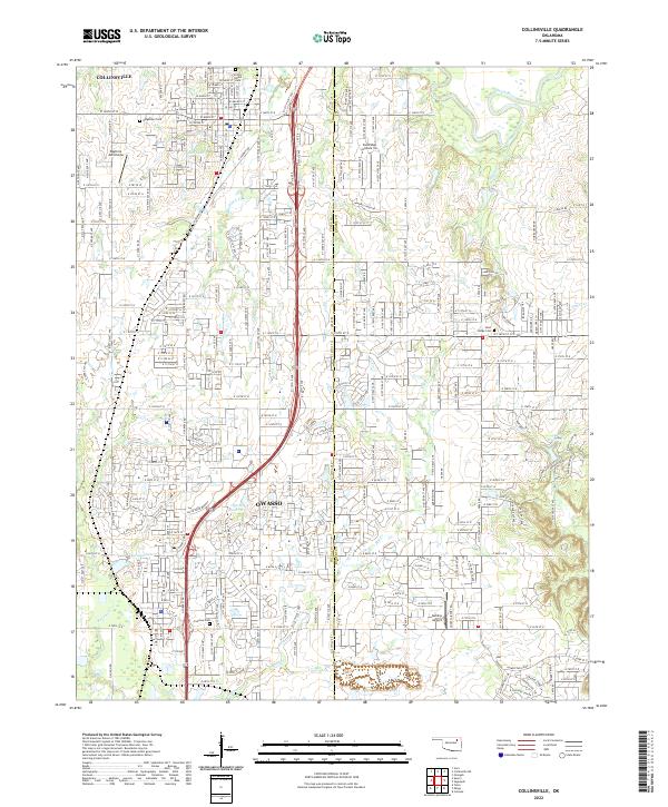
Collinsville and Owasso anchor this map of northeastern Oklahoma, sitting along the shared border of Tulsa and Rogers Counties. The landscape is defined by the transition from established town centers to expanding residential developments and suburban infrastructure. The area is intersected by a network of creeks and small rivers, including the Caney River in the northeast and Elm Creek winding through the southern half. Large-scale water management is visible via the 143019 Reservoir and 134009 Reservoir near the central corridor.
Find a feature on this map
117 named features on this map. Tap any name to fly to it.
Don’t see what you’re looking for? This feature index may not catch every label — zoom into the map to look around manually.
Map Details
Editions of this 2022 Collinsville Map
This is the sole edition of this map. No revisions or reprints were ever made.