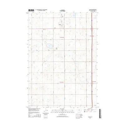
2015 Map of Colman
USGS Topo · Published 2015About this map
Colman serves as the central hub of this eastern South Dakota landscape, situated along the prominent topographic rise of the Coteau des Prairies. This glacial plateau defines the local hydrology, with several small drainage systems like Bachelor Cr and Skunk Cr winding through the gridded agricultural sections. The area is marked by numerous family and community landmarks, including several rural burial grounds such as Molskness Cem and Hegrey Cem, which speak to the long-standing settlement patterns of Moody County.
Find a feature on this map
34 named features on this map. Tap any name to fly to it.
Don’t see what you’re looking for? This feature index may not catch every label — zoom into the map to look around manually.
Map Details
Editions of this 2015 Colman Map
This is the sole edition of this map. No revisions or reprints were ever made.
Other maps of this area

1953 · Watertown
USGS Topo · 1:250,000

1955 · Sioux Falls
USGS Topo · 1:250,000

1958 · Sioux Falls
USGS Topo · 1:250,000

1958 · Watertown
USGS Topo · 1:250,000

1962 · Colton SE
USGS Topo · 1:24,000

1962 · Dell Rapids
USGS Topo · 1:24,000

1963 · Trent
USGS Topo · 1:24,000

1963 · Colman
USGS Topo · 1:24,000

1964 · Rutland SE
USGS Topo · 1:24,000

1964 · Flandreau SW
USGS Topo · 1:24,000