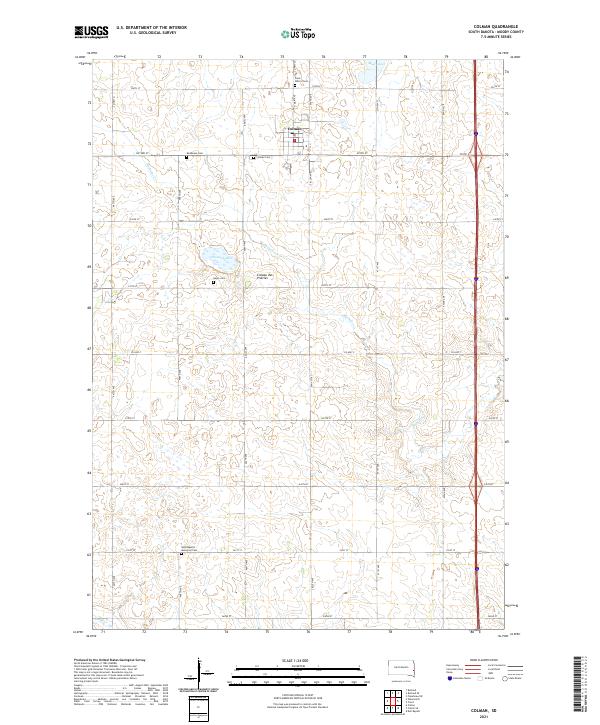
2021 Map of Colman
USGS Topo · Published 2021About this map
The town of Colman stands as a central node in this portion of Moody County, situated atop the prominent Coteau des Prairies upland plateau. This 2021 survey reveals a landscape defined by its agricultural grid, where section lines are marked by roads like Co HWY 77 and Co HWY M. The area is notably dense with small, localized burial grounds that serve as vital records for genealogical research, including Colman Cem, Molskness Cem, and Saint Peter's Cem to the north. Further south, the West Baptist Memorial Cem and Hegre Cem near the banks of Poison Lake illustrate the historical distribution of early settler congregations. The terrain is relatively uniform across the plateau, punctuated only by occasional water bodies like Mud Lake and the subtle drainage patterns of the Coteau.
Find a feature on this map
35 named features on this map. Tap any name to fly to it.
Don’t see what you’re looking for? This feature index may not catch every label — zoom into the map to look around manually.
Map Details
Editions of this 2021 Colman Map
This is the sole edition of this map. No revisions or reprints were ever made.
Other maps of this area

1953 · Watertown
USGS Topo · 1:250,000

1955 · Sioux Falls
USGS Topo · 1:250,000

1958 · Sioux Falls
USGS Topo · 1:250,000

1958 · Watertown
USGS Topo · 1:250,000

1962 · Colton SE
USGS Topo · 1:24,000

1962 · Dell Rapids
USGS Topo · 1:24,000

1963 · Trent
USGS Topo · 1:24,000

1963 · Colman
USGS Topo · 1:24,000

1964 · Rutland SE
USGS Topo · 1:24,000

1964 · Flandreau SW
USGS Topo · 1:24,000