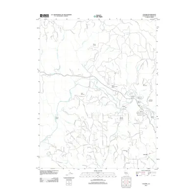
2012 Map of Coloma
USGS Topo · Published 2012About this map
Sutters Mill and the surrounding landscape of El Dorado County are preserved here in detail, showcasing the region's transition from its gold-discovery roots to a contemporary mix of viticulture and recreation. The S Fork American River carves through the terrain, flanked by a network of parks and picnic areas including North Beach Picnic Area and Monument Picnic Area. This era of the landscape is defined by the coexistence of its deep history and modern industry, with Coloma Winery and Gold Hill Vineyard marking the agricultural character near the settlements of Lotus and Gold Hill. Genealogists will find significant value in the documentation of local burial grounds, such as Uniontown Cem, Catholic Cem, and Pioneer Cem, while aviation history is represented by the Bacchi Valley Industries Airport and Akin Airport.
Find a feature on this map
133 named features on this map. Tap any name to fly to it.
Don’t see what you’re looking for? This feature index may not catch every label — zoom into the map to look around manually.
Map Details
Editions of this 2012 Coloma Map
This is the sole edition of this map. No revisions or reprints were ever made.
Other maps of this area

1891 · Sacramento
USGS Topo · 1:125,000

1891 · Placerville
USGS Topo · 1:125,000

1892 · Sacramento
USGS Topo · 1:125,000

1892 · Placerville
USGS Topo · 1:125,000

1893 · Placerville
USGS Topo · 1:125,000

1893 · Sacramento
USGS Topo · 1:125,000

1941 · Folsom
USGS Topo · 1:62,500
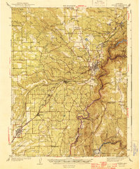
1944 · Auburn
USGS Topo · 1:62,500
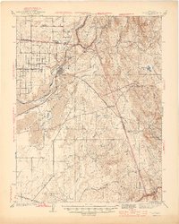
1944 · Folsom
USGS Topo · 1:62,500

1947 · Sacramento
USGS Topo · 1:250,000